Konrad HafenHow to Clip a Raster to a Polygon or an Extent with Python (Extract by Mask)Clipping, extracting to masks, and subsetting rasters are common GIS operations. Using the gdal package for Python it is very easy to…Sep 20, 2023Sep 20, 2023
Konrad HafeninTowards Data ScienceUse Python to Download Multiple Files (or URLs) in ParallelGet more data in less timeSep 8, 20231Sep 8, 20231
Konrad HafeninTowards Data ScienceSort NumPy Arrays By Columns or RowsUtilize NumPy’s built-in functions to make sorting simpleMar 30, 2021Mar 30, 2021
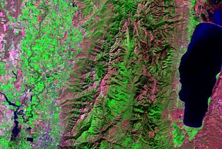
Konrad HafeninTowards Data ScienceHow to Make a False-Color Satellite Image in QGISArt and data all-in-oneFeb 17, 20212Feb 17, 20212
Konrad HafeninTowards Data ScienceRemote Sensing with QGIS: Calculate NDVIThis could be the most-used remote sensing indexFeb 16, 20213Feb 16, 20213
Konrad HafeninTowards Data ScienceVectorize Moving Window Grid Operations on NumPy ArraysWhether photography, topography, or something else it can probably be analyzed with a sliding windowJan 13, 2021Jan 13, 2021
Konrad HafeninTowards Data ScienceUse Python to Convert Polygons to Raster with GDAL.RasterizeLayerScale-up your geoprocessing workflows with PythonDec 29, 20204Dec 29, 20204
Konrad HafeninTowards Data ScienceZonal Statistics Algorithm with Python in 4 StepsHow to summarize raster data for polygon zonesNov 10, 20202Nov 10, 20202
Konrad HafenHow to Generate Passive Income with Online CoursesAll you need to be successful is timeJul 21, 2020Jul 21, 2020
Konrad HafeninTowards Data ScienceCreate NetCDF Files with PythonA powerful data format once you break the learning curveJul 13, 20203Jul 13, 20203